Upcoming talks: Cafe Sci Oxford & PyData Southampton
I’m giving two talks in the next two weeks, and wanted to publicise them here in case anyone local-ish wants to come.
Oxford Cafe Scientifique

I’ve spoken at various Cafe Scientifique meet-ups before, and now it’s the turn of the Oxford one. I’ll be giving my talk about the whole range of satellite imaging – details below. This particular cafe sci focuses has a particularly long Q&A and discussion section, so I’m looking forward to getting some real back-and-forth with the audience.
Full details here, and title and description below:
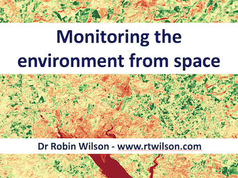
Monitoring the environment from space
Hundreds of satellites orbit the Earth every day, collecting data that is used for monitoring almost all aspects of the environment. This talk will introduce to you the world of satellite imaging, take you beyond the ‘pretty pictures’ to the scientific data behind them, and show you how the data can be applied to monitor plant growth, air pollution and more.
PyData Southampton

Before the pandemic I was part of a group trying to set up a PyData Southampton group – but unfortunately it got derailed by lockdown. Luckily, we’ve managed to resurrect it, and the first meeting will be on Tues 17th October at the Carnival offices near IKEA in Southampton. If you enjoy Python and data stuff then come along!
Full details here and title and description below:
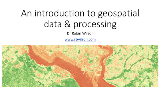
An Introduction to geospatial data & processing
In this talk, Robin will introduce geospatial data and how to process it using Python. He’ll explain what geospatial data is, and what makes it different from normal data. He’ll cover the types of geospatial data, issues relating to co-ordinate systems, and where to get geospatial data, before diving into a couple of case studies of geospatial data processing with Python using libraries including GeoPandas, rasterio, shapely, rasterstats, folium and more.
Please come along if you’re interested!
If you found this post useful, please consider buying me a coffee.
This post originally appeared on Robin's Blog.
Categorised as: Academic, GIS, Programming, Python, Remote Sensing
Leave a Reply