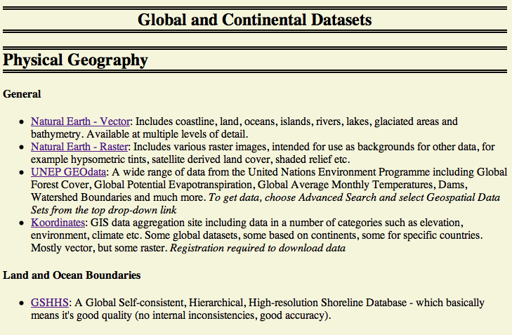
Categorised list of Free GIS Datasets
For a long time I have been searching for a simple, easy-to-use, comprehensive list of freely available GIS datasets that I can use in my academic work – or for any other non-commercial purposes (eg. teaching, ‘just for fun’ applications, etc). All of the lists that I have found have been out-of-date, riddled with adverts, or specific to one field or country, so…I decided to make my own:
The screenshot above just shows the first few links – there are many more, split in to categories by field (for example, natural disasters, population, ecology and administrative boundaries) and by geographical area (for example, global, UK, Puerto Rica). The site is being updated regularly, and I am frequently running a checking tool to ensure that all of the links still work. It is intentionally designed to be one simple page – my thoughts being that it is far simple to search for a dataset using Ctrl-F (the in-browser search facility) than navigating around a slow database-backed site.
The web address for the site is:
Have a look and let me know what you think. I hope this will become a useful resource for the GIS community.
If you found this post useful, please consider buying me a coffee.
This post originally appeared on Robin's Blog.
Categorised as: Academic, GIS, Remote Sensing

[…] Wilson has published a categorized list of free GIS data sets. I thought the list was worth […]